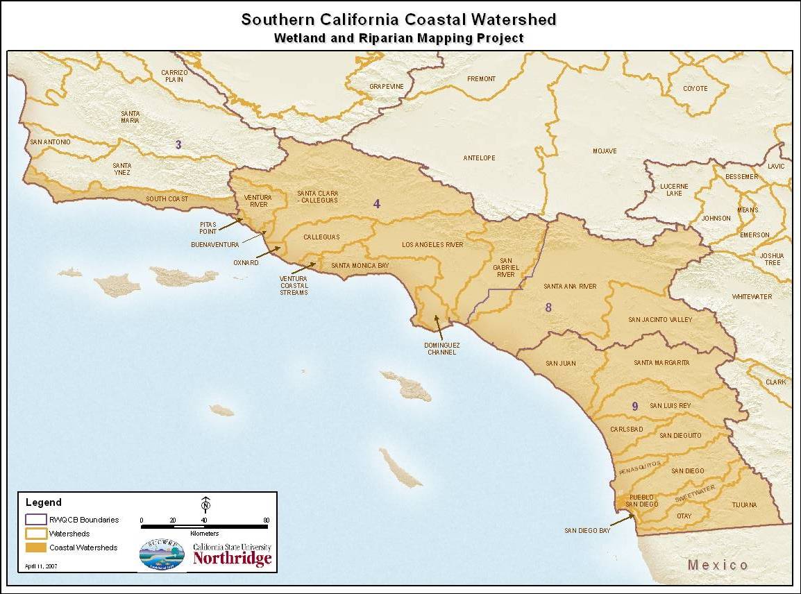
The purpose of this project was to build on ongoing work by US FWS National Wetland Inventory (NWI), the Resources Agency, the Coastal Conservancy, & SCCWRP to complete an update of wetland habitat maps in Southern California coastal watersheds. The objective of this project was to produce a full set of wetland habitat maps for the region with a base imagery standard of year 2000 or newer. For purposes of this project "Wetlands" include estuaries, lagoons, wadeable and non-wadeable streams and rivers, depressions, seeps, springs and lakes. Since all these wetlands are located in coastal watersheds, all drain and impact coastal waters. Below is a map outlining the coastal watersheds in Southern California that were updated during the course of the project. For more detailed information regarding the project, please see the available reports.
Southern California Wetlands Mapping Project Study Area
Click image below to view a larger version of map.