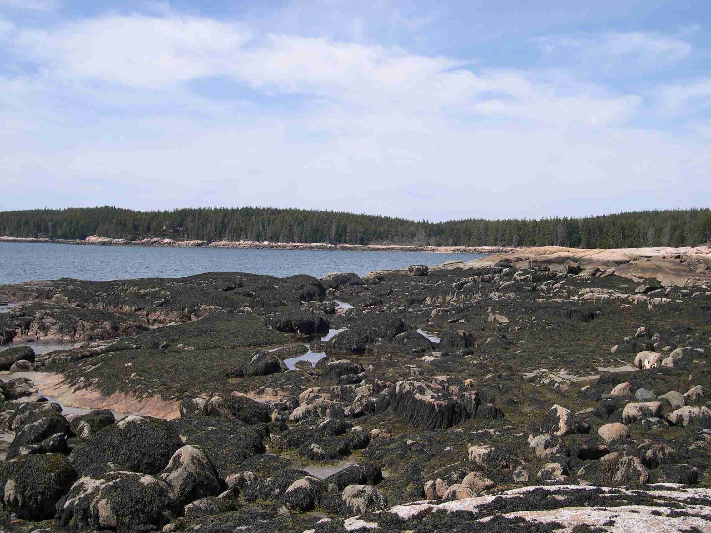
July 4th is a small cove about 1000 meters north of Fine Sand Beach and has no name on the charts, but is just to the west of a point known locally as Robinson's Point. We named the site "July 4th " because we started clearing the plots on the fourth of July in 1996. The site faces southeast and is a mixture of large boulders and extensive ledges. Above the ledges, which stretch through the lower part of the mid zone, there is a large tidal pool. The pool drains on the low tide and keeps much of the area wet. The site is the second most exposed after Ledges.
Picture above : Standing near the uncleared control plot and looking southwards onto the bay that protects Fine Sand Beach. Fine Sand Beach is out of view and to the right of the photograph. Photo taken on 10 May 2004.


