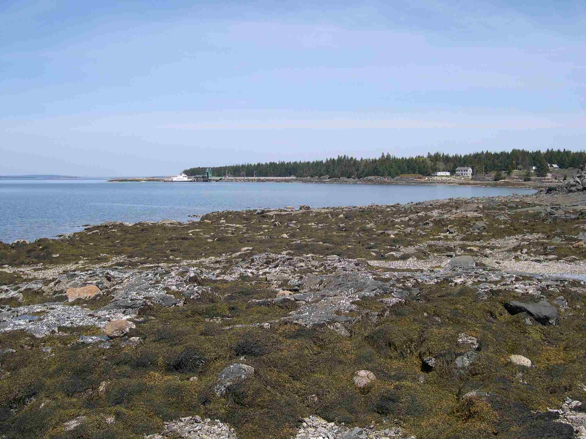
Basil is named after Basil Joyce, who was an islander and owned a house nearby the site. Basil is on the eastern shore of Mackerel Cove and faces to the west. Basil is normally very protected but is exposed to the northwest to Blue Hill Bay. As a result, Basil has suffered scour from ice that was driven by Northeasters during the winters of 2002 and 2003. The intertidal shore is gently sloping and is a mixture of cobbles, boulders and rocky outcrops, which extends into the subtidal zone. Cracks and crevices are common. The mid zone is dominated by Ascophyllum and the low zone by barnacles and mussels.
Picture above : Looking to the northwest with the Swan's Island ferry and terminal in the background. The large amount of surface without Ascophyllum is due to severe ice scour during the winter of 2003 - 2004. Photo taken on 12 May 2004.


