June 7, 2021
Cartographer
Growing up a block and a half from the United States’ largest paper mill, Steven Graves could smell the pollutants from the mill every day. He believes that if he and his family lived upwind from the factory, his sister would not have contracted leukemia.
From a spatial perspective, he suspects that location would’ve made a difference in his sister’s health.
“I think it’s important that everyone develop [a spatial] way of thinking because it’s underdeveloped for Americans to ask the question ‘where?’” Graves said. “We’re getting better at asking questions about equity in terms of race and gender, but I would argue that we also need to improve and constantly ask ‘where?’ because everybody in polluted neighborhoods can die from exposure to toxic chemicals.”
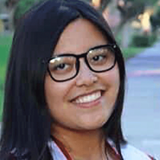
Graves is currently a professor of geography and environmental science at California State University, Northridge and a faculty partner of the Health Equity Research and Education (HERE) Center.
He, along with other members of the faculty and the community,worked on the Mapping Health Hazards in the San Fernando Valley Project. The project centers on mapping health hazards and examining health inequities in the Valley.
“I just want everybody to have equal opportunities to live their best [lives].“ Graves said.
As a geographer, Graves believes that location determines “what kind of cards are all in your deck.” Neighborhoods, he asserts, are good examples of that.
“I’ve done recent data analysis on fast food and childhood fitness levels, and in those neighborhoods where a high percentage of the businesses are fast food, guess what—the kids are more likely to be unable to pass the fifth-grade physical fitness test,” Graves said. “This is after you hold constant for race and income.”
According to Graves, even after accounting for people’s income and ethnic identity, it still makes a difference whether or not their neighborhoods are “covered in Burger Kings and Kentucky Fried Chicken joints.”
Some of the other projects Graves has done include working with Breastfeed LA, analyzing fast food and childhood obesity and looking at access to opioid treatment facilities and the services they offer.
“One way of looking at [opioid treatment facilities] is the environments in which they are situated,” Graves said. “[For example], if you become addicted to opioids are your parents are in Calabasas, the place where you would go for treatment would look very different than if you have the same addiction [if you were in] Sylmar.”
Graves, along with the Center for Geospatial Science and Technology, also worked on the Southern California COVID-19 Trend Maps, which tracks the virus’ progress county by county on the national level.
“It updates every day, and I think the [map] is really awesome,” Graves said. “It’s not getting much publicity, but it’s the best such map I’ve seen.”
A major project Graves has worked on in collaboration with the HERE Center is the Toxic Tour, a mapping project that involves a virtual look around the San Fernando Valley with stops at some of the more high-profile challenges facing local residents.
“I think the San Fernando Valley [as a whole], has trouble generating attention from news media, so if there are problems here, they get less attention,” Graves said.
Overall, Graves’ experience working at the HERE Center has been positive. In particular, he admires the work HERE Center executive director Carrie Saetermoe has done over the years.
“I have faith in what she’s doing and the people that she has surrounded herself with [at the center],” Graves said. “I am, what you would say, eager to collaborate with people that [I] trust have the same goals in mind—a better life for people in our community.”